MANISH KHATRI GEOHYDROLOGIST
DOWSING is the oldest method that is used to locate the ground water resources. However advancement in science and technology has resulted in development of new accurate and more reliable methods namely: Surface methods and Sub-surface methods. Surface investigation method is used to investigate ground water from the earth surface. Of all the surface investigation techniques Electrical RESISTIVITY Method is the most economical, versatile, reliable and time effective technique. Ground water and its location, movement, quality and quantitative data can be obtained using the sub-surface investigation method. Geophysical methods of locating groundwater (or site for tube well/open well) are technological ways of determining conditions below the ground surface without actually drilling a hole.
From the time the earth was formed, water has been endlessly circulating. Groundwater lies almost everywhere below the earth's surface. Groundwater does not rest; it moves continuously, but at a snail's pace, from its point of entry to areas of natural discharge. Groundwater moves so slowly that its speed is measured in metres per day, and even per year. (Surface water velocities are described in metres per second.) Wells intercept some groundwater but most of it continues until it re-appears naturally in a spring or a seepage area and joins a watercourse. This circulation is known as the hydrologic cycle. Groundwater is part of this continuous cycle as water evaporates, forms clouds, and returns to earth as precipitation. The Process: surface water is evaporated from the earth by the energy of the sun. The water vapour forms clouds in the sky. Depending on the temperature and weather conditions, the water vapour condenses and falls to the earth as different types of precipitation. Some precipitation runs from high areas to low areas on the earth's surface. This is known as surface run-off.
Geophysical methods of locating groundwater are technological ways of determining conditions below the ground surface without actually drilling a hole.The role of geophysical methods in Groundwater Exploration is vital. Its chief aim is to understand the hidden subsurface hydrogeological conditions accurately and adequately. Since the base of any geophysical methods is the contrast between the physical properties of the target and the environs, the better the contrast or anomaly, better would be geophysical response and hence the identification. So, the efficacy of any geophysical techniques lies in its ability to sense and resolve the hidden subsurface hydrogeological heterogeneities or variation.
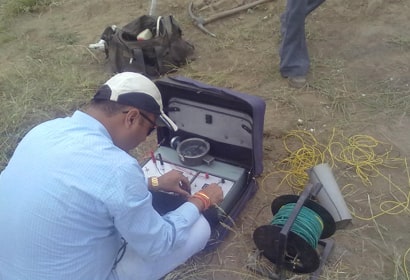
Electrical Resistivity – Electrical resistivity surveying methods have been widely used to determine the thickness and resistivity of layered media for the purpose of assessing groundwater potential and siting boreholes in fractured unconfined aquifers. A resistivity survey measures the electrical resistance to a current induced into the ground. The electrical resistance of sediment or rock depends on many factors such as particle size, porosity, density, mineral and chemical composition, and moisture level. Resistivity data can reveal something about these factors and the geological composition of the area being measured.
Features
Check The Features
Services
Services We provide

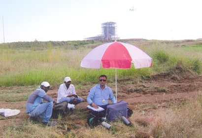
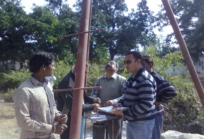
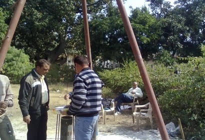
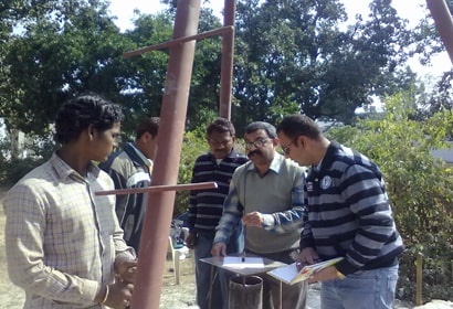
Ground Water Survey
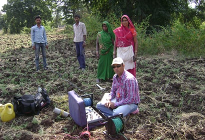
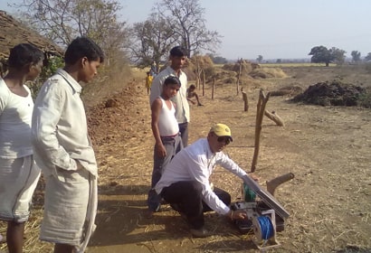
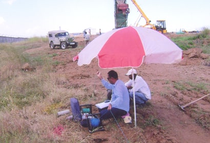
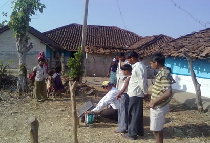
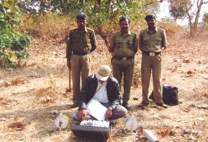
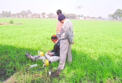
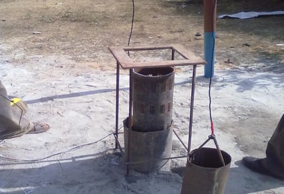
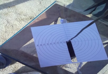
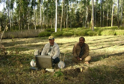
We use state of the art equipment Aqua-finder i.e. analog magnetometer and Resistivity meter that helps in to identify the best location on your site / habitation for Ground water.
With this equipment we are able to locate the geological structure beneath the surface. VES (vertical electrical sounding) is a proven method, with this method we can identify the ground water exploration, Bedrock investigation, mineral exploration, Study of geological structure features, sand and gravel deposit location.
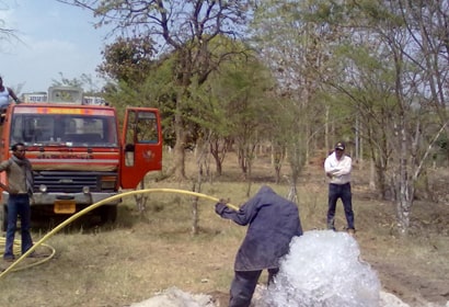
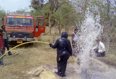
Testing for Yield and Draw down
The drawing off of water through a tube well results in a lowering of water level. The draw down creates a hydraulic gradient in the water bearing material with the result that underground flow into the tube well takes place.
The rate of inflow depends upon the hydraulic gradient, permeability and satiated thickness of water bearing material and of tubewell construction.
Recognized qualified person of Indian Bureau of Mines
- Scheme of mines
- Prospecting report of mines
- Mining plan
- EIA Plan
- Mine closer plan
As per mines & Minerals (Development & Regulation) Act 1957, the Mining Plan is Pre-requisite for grant to mining lease. The mining plan is also mandatory for renewal of mining leases mining plan ensures that minerals resources are developed in scientific minerals and protection of environment.

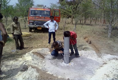
Verticality and alignment of tube wells
If a turbine well pump is to be installed in a well, the well should be true to line from its top to a point just below the maximum depth at which it is proposed to set a pump.
A tube well out of alignment and containing kinks and bends or cork-screws should be rejected because such deviations cause severe wear on the pump shaft, bearings and discharge casing and in a seven case, might make it impossible to get a pump in or out.
- Water Analysis
- Mineral Analysis
- Drilling of Tubewell
Policy
Quality Policy of M K Associates
“M K Associates” is committed
- To provide high quality services to the clients through innovation and professional excellence by the panel of technically qualified professionals of M K
- To ensure that the project is compatible in all the aspects of environmental grounds as well as acceptable by concerned Government authorities in line with Rules & Regulations framed by concerned Government authorities and any quality requirements expressed by state / central Environmental Committees as well as to provide better quality services as per IS/ISO 9001:2015 and NABET Requirements and keeping in balance interests of all concerned stakeholders.
- To provide cost-effective services within stipulated time frame to satisfy customer’s requirement in line with the norms of concerned Government
- To continual improvement at organizational level in every sphere including QMS to satisfy requirements of the customers for the applicable
- To achieve the continual improvement by providing the essential training
- To ensure that Quality Policy is well understood and communicated within the
- To confirm that quality policy is circulated to all the members of MKA team and also ensures that it is implemented and maintained by the all members of M K
This policy provides a framework for setting objectives and subject to review from time to time depending on the regulatory and customer requirements.
Policy effected from the Date 09.11.2021.
Manish Khatri
Proprietor
The objective of the quality policy is to provide total customer satisfaction in quality of the environment service
M K Associates (MKA) is committed to:
- To provide worth and high-quality environmental services in terms of Environmental Clearance and other allied services.
- To provide the environmental services in line with the concern Government authorities to satisfy the requirements of the
- To provide the trainings periodically on regular basis to augment knowledge and the skills of management of
- To provide trainings to employees up to Minimum 10% on yearly
- The targets (KPI- Key Performance Indicators) are fixed for the individuals based on the NABET Scheme, Version 1.2.
- To implement, maintain and improve quality management system as per IS/ISO 9001: 2015 and NABET Requirement.
- To provide quality and timely services to the clients with value addition to the
- To identify, manage the interrelated processes of the organization to maintain the efficiency and effective working to achieve the intended
- To identify and excel in the new technologies which are important for the betterment and upliftment of the organization and thus indirectly the clients will also be
- To provide motivational environment and proper platform for enhancement of knowledge to all the team members to achieve their targets and ultimately the goal of
The targets (KPI- Key Performance Indicators) are fixed for the individuals based on the NABET Scheme.
Policy effected from the Date 09.11.2021.
Manish Khatri
Proprietor
Contact
Contact Us
Manish Khatri:
M.Sc. (Geology.) : Hydrogeologist. Approved By Govt. of M.P. PHE Department. RQP of Indian Bureau of Mines.
Office Address:
1413/B1 , Opp. Ashoka Appartment, Gupteshwar Road Madan Mahal, Jabalpur [ M.P. ], PIN : 482001

